How Do Cargo Ships Navigate? Bridge Equipment and Seamanship Explained
Last updated: 26 October 2026 · By Steve Joury, cargo trip advisor at CargoHolidays
Cargo ships navigate using satellite positioning, electronic charts, radar, AIS and gyrocompasses, with officers on watch 24 hours a day following a detailed passage plan and international collision rules. Near ports, local pilots come aboard. Here’s how it all fits together.
Officers follow a passage plan from berth to berth.
Positions come from GNSS (GPS), cross-checked by radar and visual bearings.
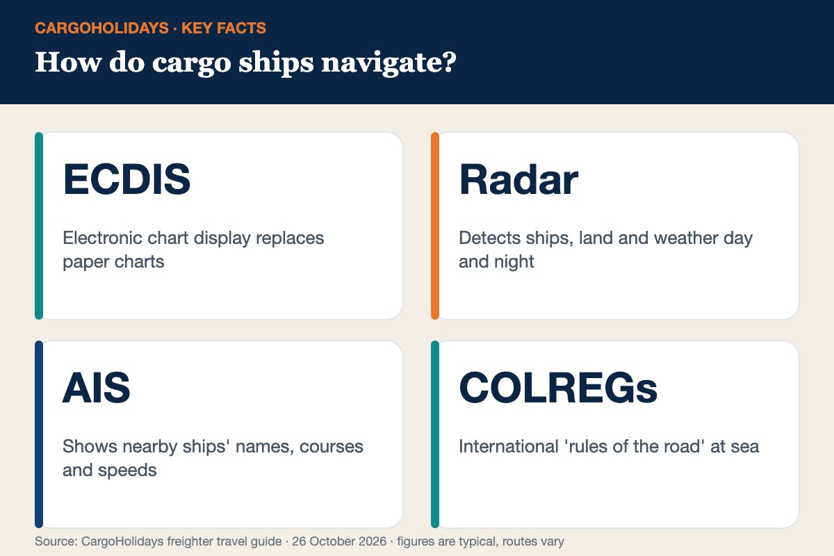
ECDIS electronic charts show the route and hazards.
Radar and AIS track other ships to avoid collisions.
Local pilots guide ships into most ports.
How do cargo ships navigate?
How do cargo ships navigate across oceans with such precision? It starts before departure with a passage plan prepared by the second officer: every waypoint, depth, hazard, reporting point and tidal window from one berth to the next. At sea, a navigating officer stands watch on the bridge around the clock, monitoring the plan, traffic and weather.
Officers keep watch on the bridge 24 hours a day.
Bridge equipment
Equipment
What it does
GNSS (GPS and others)
Satellite position, speed and time
ECDIS
Electronic charts with the route, depths and alarms
Radar (X- and S-band)
Detects ships, coastlines, buoys and rain, day or night
AIS
Exchanges identity, position and course with other ships
Ships follow the International Regulations for Preventing Collisions at Sea (COLREGs). They set out who gives way, lights and sound signals, and how to behave in narrow channels and traffic separation schemes such as the Dover Strait. Officers watch for other ships constantly and take early, obvious action to avoid close encounters.
Approaching most ports, a local pilot boards by ladder from a pilot boat and advises the captain through the channel, then tugs help the ship berth. The captain remains in command. Passengers often watch the pilot boarding – it’s impressive seamanship, especially in a swell.
Tip: Ask to visit the bridge during a quiet watch. Officers are usually happy to show you the radar, the electronic chart and your position on it.
Passionate about slow trip travel and sea. Steve know most shipping route and procedure to discover our beautiful world from sea on a container ship. He have been at most trips from 7 days on cargo travel to 140 days on board.